Environmental Data Collection Platform
Background
The client, an innovative environmental data collection company, has earned the trust of prominent players in both traditional and renewable energy industries. Recognized for their precise sensor technology and insightful reporting, the client collaborates closely with partners to provide tailored, cost-effective, secure, and efficient emissions monitoring solutions. Their services, backed by exceptional field expertise, set a high standard within the industry.
Objective
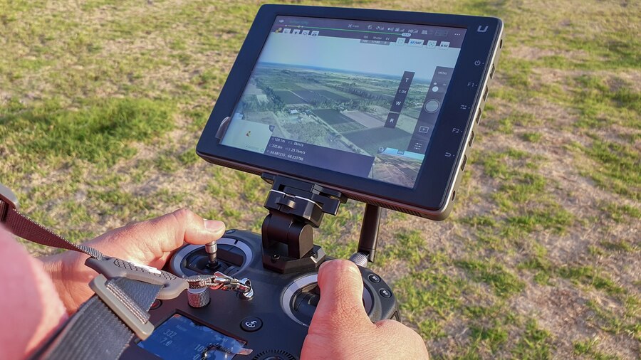
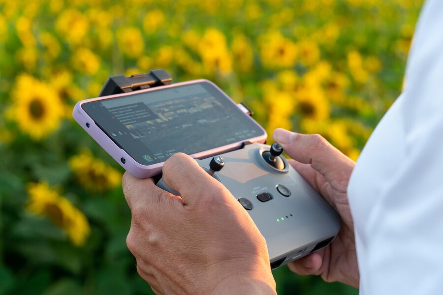
The objective of the project was to develop an Android tablet application serving as a central component of a comprehensive Geographic Information System (GIS) solution tailored for Envoirmental Data collection firm. The app was designed to facilitate efficient planning of drone missions, real-time transmission of these missions to drones, retrieval of air quality and environmental data, and immediate analysis of collected data, thereby empowering agencies with actionable insights. The project scope encompassed the creation of a user-friendly interface, mission planning, transmission of drone commands, and real-time visualization of data, ultimately contributing to heightened capabilities in environmental monitoring and management.

Solution
Our aim encompassed the development of an all-encompassing Geographic Information System (GIS) Solution tailored for an Environmental Data Collection firm. The resultant application facilitated meticulous mission planning through intricate location tracking, effectively utilizing the Mapbox SDK. It provided the capability to exercise drone control, enabling real-time environmental data collection and seamless transmission of this information to the client’s cloud servers. Notably, the application possessed the functionality to automatically replicate layers based on pre-defined configurations, subsequently generating waypoints and deploying the DJI Drone accordingly.

Main Features
- Precise Mission Planning: Utilize Map box SDK for detailed route and waypoint planning.
- Remote Drone Control: Manage drones remotely to gather environmental data.
- Instant Data Transmission: Real-time data sent to cloud servers for prompt analysis.
- Automated Layer Replication: Duplicate layers with preset configurations for consistency.
- Effortless Waypoint Generation: Auto-generate waypoints for accurate DJI Drone missions.
Tools And Technologies
- Android Studio
- Kotlin
- DJI Mobile SDK
- SODA (Cloud)
- Bluetooth 5.0
- Mapbox SDK
- USB Type C
- AWS Cloud
- Webserver: IIS
- Web Application Server: IIS
Results
- Enhanced Efficiency: The application streamlines mission planning, execution, and data collection, reducing manual efforts and potential errors.
- Real-time Insights: Immediate data transmission provides stakeholders with up-to-the-minute environmental insights, enabling informed decision-making.
- Consistency in Data Collection: Automated layer duplication and waypoint generation ensure uniform data collection across missions, improving data accuracy.
- Simplified Operations: Remote drone control simplifies operations, allowing users to navigate drones effortlessly for data collection.
- Optimized Resource Utilization: Efficient mission planning and real-time data transmission maximize the utilization of drones and resources.
- Actionable Intelligence: Real-time data and insights empower quicker responses to environmental changes, aiding in proactive decision-making.
- Cost and Time Savings: Automation reduces manual tasks, saving time and minimizing operational costs.
- Data Accuracy: Uniform data collection and accurate waypoint generation enhance the quality and reliability of collected information.
- Efficient Collaboration: Cloud-based data transmission fosters seamless collaboration among stakeholders, regardless of location.
- Improved Planning: Precise mission planning and duplication of configurations allow for more effective long-term environmental monitoring strategies.
- User-Friendly Interface: The intuitive interface ensures ease of use, requiring minimal training for effective utilization.


